
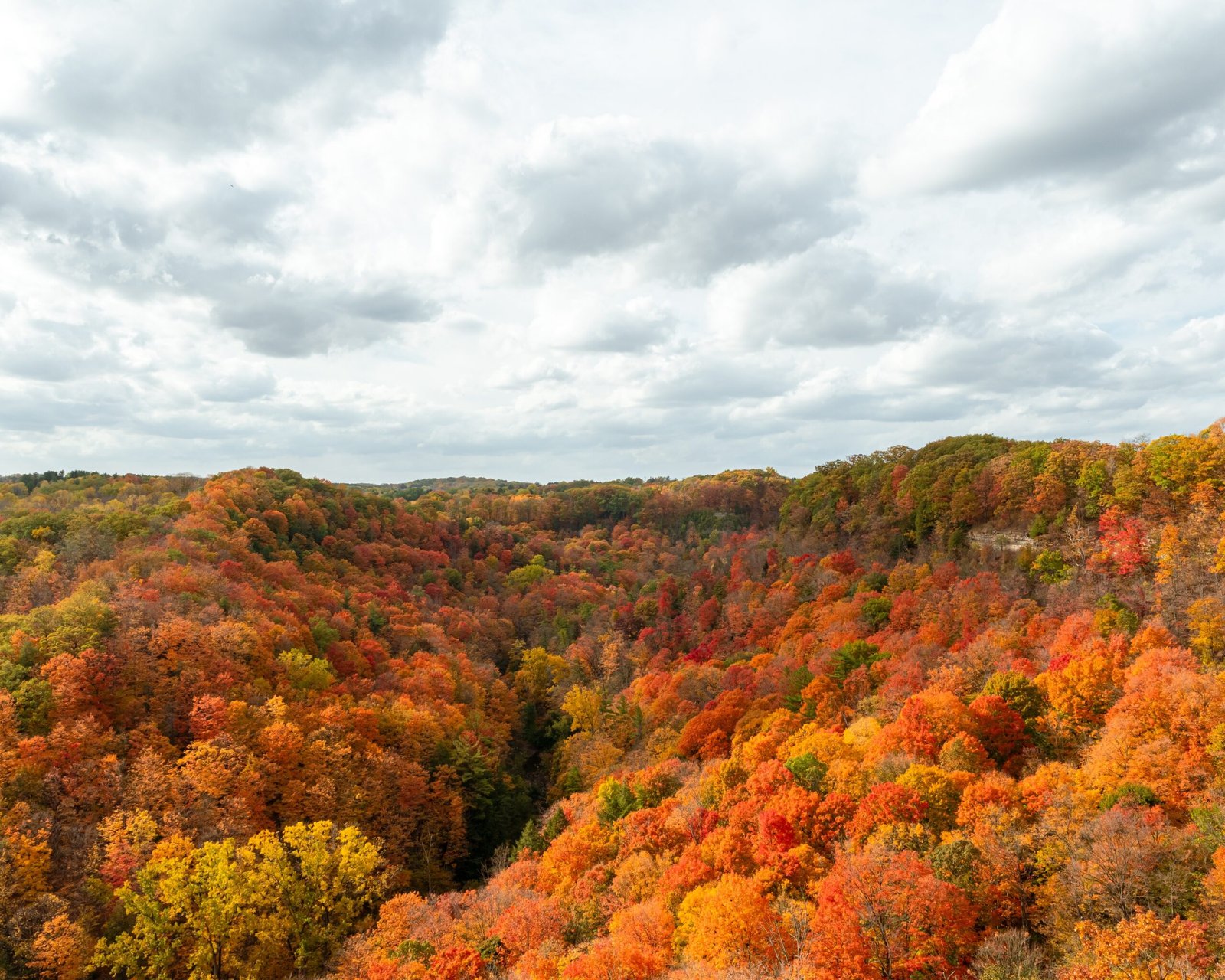
Dundas sits where the Niagara Escarpment drops into the valley floor, and that single fact explains almost everything about hiking here. The trails don’t just pass through scenery, they were shaped by it, carved by water and stone long before anyone laid out a street. Whether you have twenty minutes or a full afternoon, here is how to walk the town properly.
Dundas Peak and Tews Falls
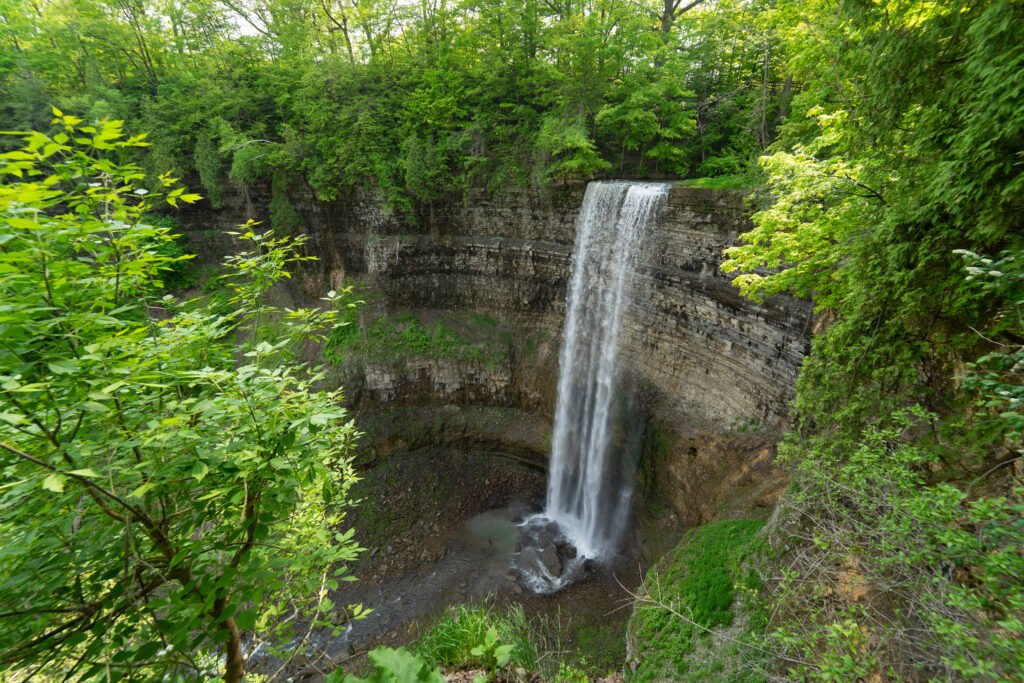
Start at the top. The Dundas Peak loop is a 1.8-kilometre trail from the parking lot, part of the Bruce Trail’s “Shurvin Mile,” and it earns its moderate rating even though the map makes it look flat. The incline shows up fast, roughly twenty minutes up and fifteen back down, and the payoff at the lookout is the kind of escarpment view that makes the climb feel short in hindsight. Tews Falls sits just off the same trailhead, a 41-metre drop into a bowl-shaped basin, with a viewing platform at trail level and a second, elevated one reached by a short staircase.
Parking is at 581 Harvest Road and requires a reservation, plus a vehicle fee and a per-person charge for anyone six and older. Book ahead, especially on weekends.
Websters Falls
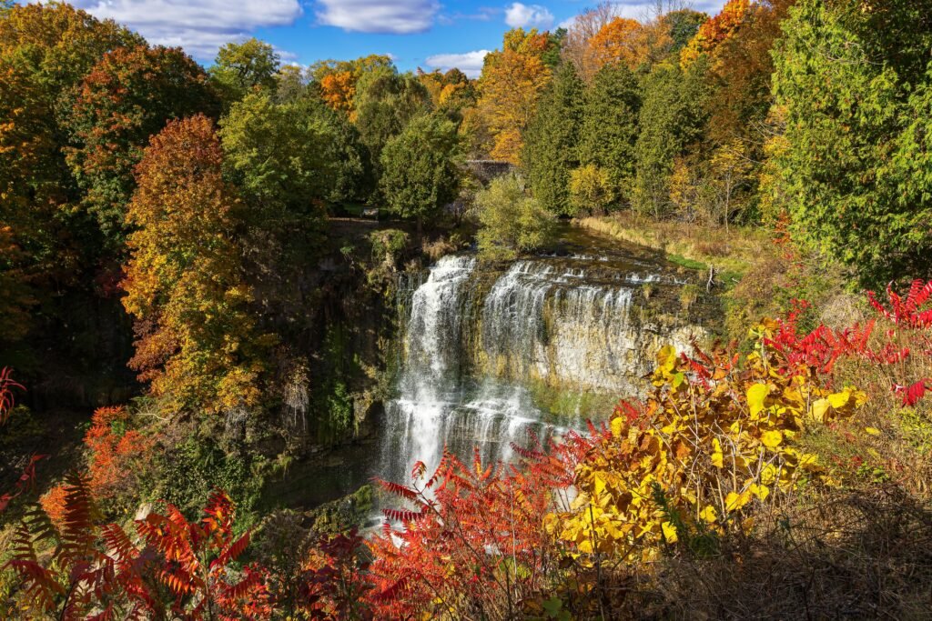
A short drive away, Websters Falls is the more approachable of the two, a 600-metre walk from the parking lot at 27 Fallsview Road, crossing a cobblestone bridge on the way in. The falls themselves drop 22 metres and are framed by exactly the kind of stone bridge that shows up on half the postcards of this town. Note that the metal staircase down to the base has been removed, so plan to view from above. Websters Falls requires its own separate parking reservation, since the old hiking connection between it and Tews Falls now runs through private property and is closed.
The Dundas Valley Conservation Area
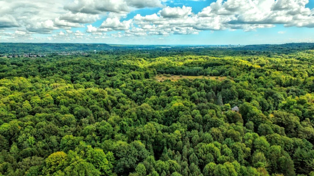
For longer walks, the conservation area is the real destination, a 40-kilometre network built around three main routes. The Main Loop Trail carries the Basadinaa Experience, a series of Indigenous history markers woven into the walk itself, worth slowing down for rather than treating as a checkpoint. The Bruce Trail runs through as well, on foot only, no cycling permitted. And the Hamilton to Brantford Rail Trail offers the flattest, most accessible route in the system, a good choice if rugged terrain elsewhere in the valley is more than you are looking for that day.
The main lot at 650 Governor’s Road is the place to start if you are unsure, with trailer parking for anyone arriving on horseback and a Trail Centre, a replica Victorian train station, open daily from 9 a.m. to 3 p.m. weather permitting. Dogs are welcome on leash. Five access points in total serve the area, so it is worth checking which one sits closest to the section of trail you actually want to walk.
Planning the Day
Reservations and fees are the one modern complication in an otherwise old-fashioned kind of day out, so check ahead for Tews Falls and Websters Falls before you go, and treat the conservation area’s main lot as your default if plans change. Bring proper footwear. The inclines are shorter than they look on paper, but the stone and root-covered sections stay uneven and can be slick after rain.
A Landscape Still Doing the Work
What makes hiking in Dundas worth returning to is the same thing that makes the town worth returning to: none of it was smoothed over for convenience. The falls still drop where the water decided, the trails still climb where the escarpment decided, and the walk rewards anyone willing to meet the land on its own terms.